How MowReview makes money: As an Amazon Associate, MowReview earns from qualifying purchases, at no extra cost to you. We don’t test mowers ourselves; we explain what manufacturers and independent testers report. How we research
Quick answer
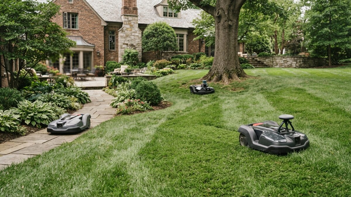
RTK uses satellites and is the most precise on open lawns, but weakens under trees. LiDAR uses lasers to measure the yard itself, so it works in shade with no antenna needed. Cameras recognize obstacles and landmarks but depend on light. The most capable mowers combine two or three, so one covers another’s weak spot.
Wire-free mowers all do the same job: work out where they are, and stay on the grass. They just do it in different ways, and those differences decide which mowers will work in your yard. Here’s each one in plain English.
RTK: satellites, corrected
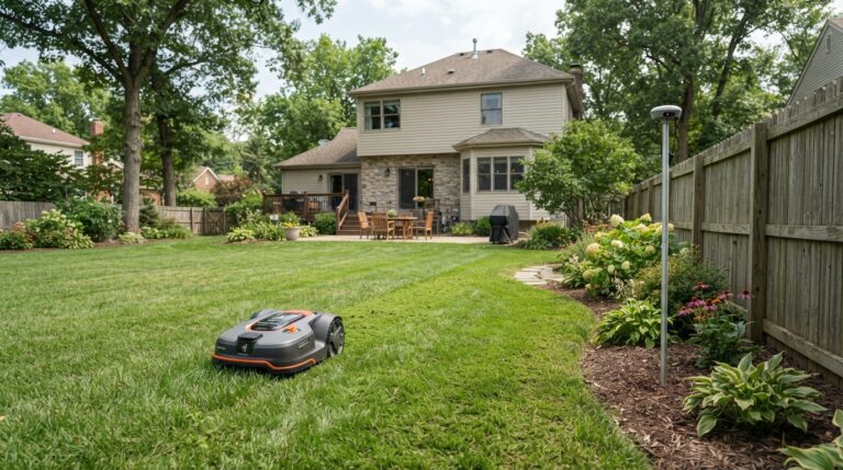
What it is. Plain GPS knows roughly where something is, to within several meters, which is nowhere near enough to follow a lawn edge. RTK fixes that with a second receiver, a reference antenna, in a known fixed spot on your property. Because it knows its own exact position, it can work out the errors the satellite signals pick up crossing the atmosphere and correct them. Ecovacs puts the resulting accuracy at centimeter level, roughly two centimeters.
Where it works. Open lawns with a clear view of the sky. This is the most precise option available, which is why it can draw crisp boundaries and mow in neat parallel lines.
Where it fails. Under trees. Ecovacs explains that leaves, branches and trunks cut down the open sky the mower can use, and that nearby metal and glass make things worse by bouncing signals around, which is known as multipath. In practice you get wavy lines, missed strips or a mower that stops with a signal warning.
Worth knowing: some mowers now use network RTK, where the correction arrives over the internet or a cellular network instead of from an antenna in your yard. That removes the antenna, but adds a dependency on connection quality. Segway notes performance may be limited where network signal is weak.
LiDAR: measuring the yard itself
What it is. A spinning laser sensor that measures distances to everything around it, many times a second, building a three-dimensional picture of the yard. It doesn’t use satellites at all.
Where it works. Shade, tree cover and spots hemmed in by buildings, exactly where RTK struggles. PCWorld describes the Ecovacs GOAT A3000 as using a 360-degree laser sensor on top plus a forward-facing one with a camera, which removes the need for a satellite antenna entirely.
Where it fails. Cost, mainly, and the mowers using it currently tend to have lower slope ratings. It also needs features to measure against. A big, featureless open lawn gives a laser less to work with than a yard with fences, trees and buildings.
Cameras and AI vision: recognizing things
What it is. One or more cameras, with software trained to recognize objects and landmarks. Segway says its system detects over 150 object types.
Where it works. Spotting obstacles like toys, hoses and pets, and helping with positioning where satellite signal dips. Cameras are what most manufacturers mean when they say “AI”.
Where it fails. Light and weather, like any camera. And detection isn’t a guarantee: Oxford researchers testing robotic mowers with a dummy hedgehog found one mower avoided it in a first test, then couldn’t reproduce the result, and suggested the mower may have been avoiding a larger obstacle by chance.
Sensor fusion: using two or three at once
The best current answer is to combine them. The Mammotion LUBA 3 AWD pairs laser scanning with network RTK and cameras, so when tree cover weakens the satellite signal, the other systems carry on. Segway’s i-series takes a different route to the same idea, adding a second satellite antenna inside the mower itself, which PCWorld says significantly improves accuracy over the usual single-antenna setup.
| RTK | LiDAR | Cameras | |
|---|---|---|---|
| Open lawn | Excellent | Good | Good |
| Heavy tree cover | Weak | Strong | Moderate |
| Close to buildings | Weak (reflected signals) | Strong | Good |
| Spotting obstacles | Not its job | Good | Its main job |
| Antenna in the yard? | Usually yes | No | No |
| Typical cost | Lower | Higher | Varies |
So which should you choose?
- Open lawn, some slope: RTK, or RTK plus cameras, is the value choice and the most precise.
- Heavy shade: LiDAR, or a boundary wire.
- Shade and hills together: a mower combining all three, which means paying for a flagship.
- Lots of obstacles, children, pets: prioritize camera-based obstacle detection, but don’t treat it as a safety system.
And the fourth option is still a boundary wire, which ignores this entire debate. See wire vs. wire-free.
“AI” is doing a lot of work in the marketing
Almost every mower is now sold as AI-powered. In nearly all cases that means object recognition and route planning, which is genuinely useful but a long way from the machine understanding your yard. Judge a mower on what its navigation does in shade, on slopes and around obstacles, not on the word on the box.
Questions
Which navigation type is most reliable?
It depends on the yard. RTK is the most precise on an open lawn and the least reliable under a heavy canopy. LiDAR is the most dependable in shade. Mowers that combine two or three approaches are the most consistent across mixed conditions, and the most expensive.
Do camera-based mowers work at night?
Cameras need light, so darkness is a challenge, and some manufacturers now fit lights or night-capable cameras. In any case, night mowing isn’t recommended: wildlife researchers advise daytime-only mowing because small animals are active after dark.
Is LiDAR worth paying extra for?
If your lawn is shaded or closely surrounded by buildings, yes, because it solves a problem RTK can’t. On an open lawn, RTK is already more precise, and the extra cost buys you less.
Sources
- Ecovacs: LiDAR vs. RTK robot lawn mowers (RTK accuracy, tree cover, multipath)
- PCWorld: Ecovacs GOAT A3000 review (dual LiDAR, no antenna)
- PCWorld: Segway Navimow i110N review (second onboard antenna)
- Amazon listing: Segway Navimow i110N (object detection claims)
- TechRadar: Mammotion LUBA 3 AWD 3000 review (combined navigation)
- Amazon listing: Segway Navimow X430 (network signal limits)
- University of Oxford: Hedgehog safety test for robotic lawnmowers
Now match it to your yard
Navigation is one of four things that decide which mower will work. The buying checklist covers the rest.